
Price
£24000.00This object is eligible for a Certificate of BADA Provenance
The BADA Standard
- Since 1918, BADA has been the leading association for the antiques and fine art trade
- Members are elected for their knowledge, integrity and quality of stock
- Our clients are protected by BADA’s code of conduct
- Our dealers’ membership is reviewed and renewed annually
- Bada.org is a non-profit site: clients deal directly with members and they pay no hidden fees
Sir Henry Neville's Holster Atlas.
Title The American Military Pocket Atlas; Being an Approved Collection of Correct Maps, Both General and Particular, of the British Colonies; Especially Those Which Now Are, or Probably May Be the Theatre of War.
Author SAYER, Robert & BENNETT, John.
Publisher R. Sayer and J. Bennet.
Publication place London.
Publication date 1776.
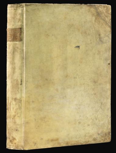
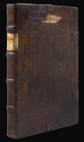
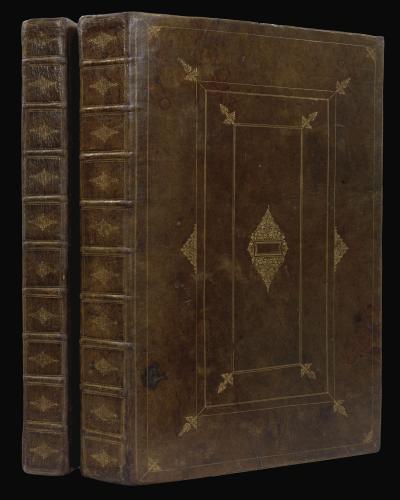
4to., (270 by 210mm). 6 fine folding engraved map with contemporary hand-colour in outline, folds strenthened with linen on verso at the time of binding. Contemporary sprinkled calf, the spine in six gilt-ruled compartments with five raised bands, green morocco lettering-piece in one (strengthened at the head and foot of the spine).
Notes
Sayer and Bennett, successors to Thomas Jefferys, published this iconic atlas for British use in the field during the American Revolution, "a portable atlas...calculated in its bulk and price to suit the pockets of officers of all rank." However, since the atlas was mostly stowed in their holsters, it became widely known as the "holster atlas." This example, from the library of Sir Henry Neville, has been bound with the maps with fewer folds and so a larger format.
The maps are those "that the British high command regarded as providing essential topographical information in the most convenient form" (Schwartz & Ehrenberg), and include:
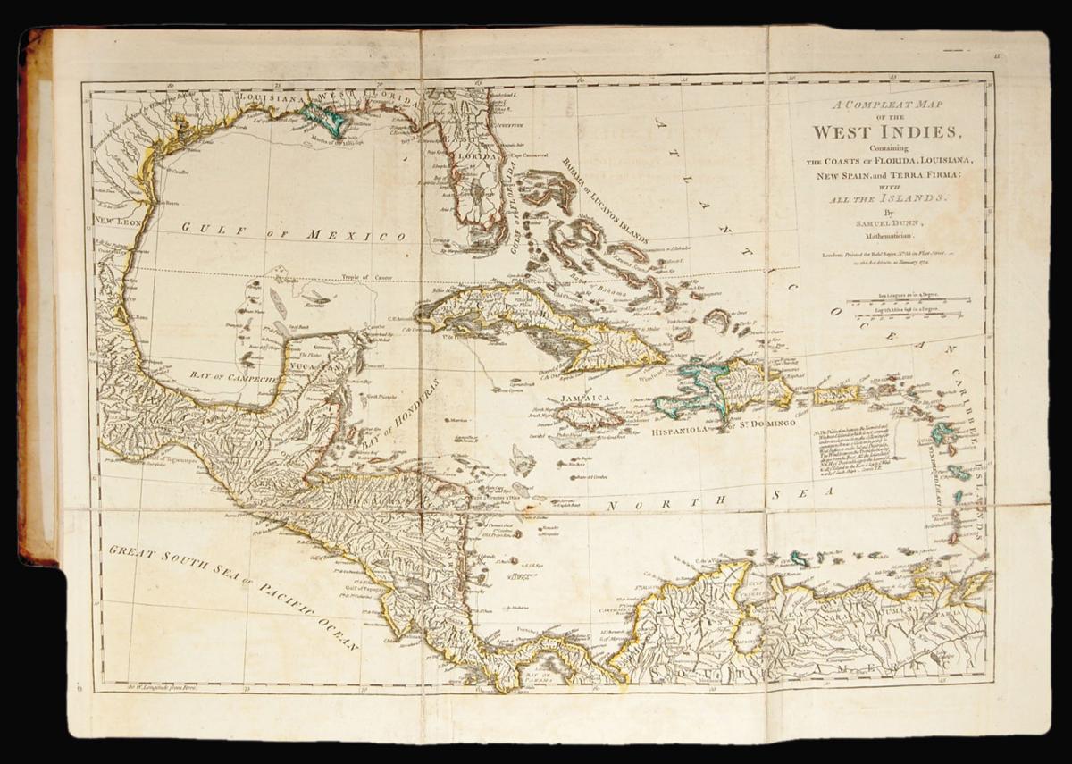
"North America, as divided amongst the European Powers", and "A Compleat Map of the The West Indies, containing Coasts of Florida, Louisiana, New Spain, and Terra Firma: with all the Islands" by Samuel Dunn;
"A General Map of the Northern British Colonies in America. Which comprehends the Province of Quebec, the Government of Newfoundland, Nova-Scotia, New England and New York" by Samuel Holland and Thomas Pownall (1776);
"A General Map of the Middle British Colonies, in America. Containing Virginia, Maryland, the Delaware counties, Pennsylvania and New Jersey. With the addition of New York, and of the Greatest Part of New England, as also of the Bordering Parts of the Province of Quebec, improved from several surveys made after the late War, and Corrected from Governor Pownall's Late Map 1776" after Joshua Fry and Peter Jefferson, and Lewis Evans;
"A General Map of the Southern British Colonies, in America, comprehending North and South Carolina, Georgia, East and West Florida, with the Neighbouring Indian Countries..." after William de Brahm, Henry Mouzon, John Collett, and Bernard Romans;
and "A Survey of Lake Champlain, including Lake George, Crown Point and St. John" by William Brassier.
Provenance
1. from the library of Sir Henry Neville (1755-1843), second earl of Abergavenny, with his engraved armorial bookplate on the front paste-down
Stock number
12814The BADA Standard
- Since 1918, BADA has been the leading association for the antiques and fine art trade
- Members are elected for their knowledge, integrity and quality of stock
- Our clients are protected by BADA’s code of conduct
- Our dealers’ membership is reviewed and renewed annually
- Bada.org is a non-profit site: clients deal directly with members and they pay no hidden fees